When a phone places you across the street, it is tempting to say GPS is wrong. What you see combines a calculated position, map data, application settings and connectivity; different incidents may originate in different components. This guide explains the underlying idea and offers a way to sort symptoms instead of changing settings at random. It uses government references and Google documentation without promising fixed accuracy for every phone or a safe route in every circumstance. Try examples while stopped somewhere safe, never while driving. The aim is a clearer problem description and a better choice of what to examine.
The basic idea starts with signal travel time
NOAA explains positioning through the travel time of signals from satellites with known locations. Multiple satellites narrow the possibilities and address the receiver’s clock error; a distance to one satellite cannot identify a unique point. The receiver performs a calculation using information and timing, rather than receiving a live picture of you from space. Reception conditions therefore matter to the result. This is an introductory explanation, not a description of every receiver operation or a replacement for specialised surveying equipment with its own requirements and procedures. National Oceanic and Atmospheric Administration
Satellites are arranged to provide coverage
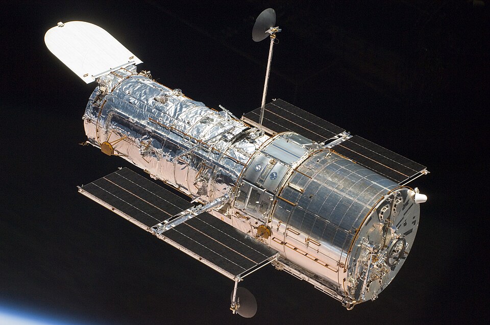
GPS.gov describes a constellation broadcasting radio signals, arranged across orbital planes so users can see multiple satellites from different places on Earth. A large constellation does not mean your receiver sees every satellite simultaneously or that nearby obstructions disappear. Distinguish system coverage from local conditions. This guide does not turn today’s satellite count into a permanent figure or infer identical indoor and open-sky accuracy from a constellation diagram. What actually reaches the receiver’s antenna remains central to the experience displayed on the screen. GPS.gov
Ground monitoring supports the system
GPS.gov describes monitoring stations collecting measurements and signals, and a control station using observations to calculate satellite information, prepare navigation messages and monitor system health. Satellites are not simply launched and left unattended. However, ground control does not make every mapping-app error its responsibility. Separate the satellite service, receiver and application data when investigating a problem. That distinction avoids reporting a shop’s incorrect address to an organisation that does not manage shop addresses and helps describe the issue to the appropriate provider. GPS.gov
Why does accuracy change between locations?
GPS.gov says user accuracy depends on satellite geometry, obstruction, atmospheric conditions and receiver characteristics. It distinguishes signal-in-space performance from a user’s resulting position. Do not translate a system specification into a promise that a particular phone achieves the same accuracy everywhere. Buildings and obstructions can change results compared with open surroundings. If a marker moves while you are stationary, describe the conditions before concluding that the entire system failed. Another device working once does not establish a particular fault in yours without a clear, bounded comparison. GPS.gov
GPS belongs to a wider navigation-system family
NOAA’s National Geodetic Survey explains shared principles across global navigation systems: satellites transmit position and time information, and receivers use those signals for positioning. Its research considers using multiple constellations. This helps explain why specifications may say GNSS rather than only GPS. The label alone does not establish that every device uses every system or processes them identically. Check the actual model and feature. Supporting multiple systems differs from proving accuracy in a particular setting; more signal sources do not independently guarantee removal of every local obstacle. National Oceanic and Atmospheric Administration
An incorrect address may not be a positioning error
GPS.gov states that satellites provide positioning signals, not maps, while mapping and delivery applications obtain address information from data providers. If your position is correct but a building or entrance is misplaced, report the relevant map or service data. Identify the exact problem: name, address, arrival point or route. There is no universal correction deadline because verification and product updates differ. Nor does correcting one provider’s data establish that every application on a phone automatically receives the same change. GPS.gov
Read the uncertainty around the position marker
Google explains that the light-blue circle around a location marker expresses uncertainty, with a smaller circle indicating greater confidence. Maps may show a last-known location when the current one is unavailable. Do not read every visible marker as a confirmed measurement of the present moment. Inspect its state and messages, then follow the relevant guidance. Distinguish position from the direction of the marker’s beam: compass-related instructions address a different issue from poor positioning. One calibration procedure is not a universal solution to every map problem. Google Help
Downloaded maps have boundaries and limits
Google says offline maps can guide a route contained within the downloaded area, but availability varies and offline operation lacks some direction types and live traffic information. Check coverage and the required mode before travelling. Downloading a city centre does not establish that its approach route is included, and live features need not remain available. Follow the map-update guidance. Positioning and map-data retrieval are different parts of the experience: one can work while another is unavailable, so identify which capability you actually need. Google Help
Location Accuracy and app permission are separate settings
Google distinguishes the device’s Location Accuracy setting, which enables additional sources, from an application’s permission for precise or approximate location. Do not grant every app broad access merely to improve one navigation application. Read the intended setting and its effect on your device. The documentation discusses wireless signals, sensors and data handling, which differ from receiving satellite signals alone. Anyone balancing a required function with app permissions should consider those details separately rather than treating all location-related switches as interchangeable. Google Help
Describe the display before naming a fault
This is a suggested triage approach, not remote diagnosis. Record whether the marker is missing, moving while you are stationary, accurate beside an incorrect place name, or pointing in an unexpected direction. Note whether it happens in one app or several and in one setting or varied conditions. There is no need to publish a private location or send it unnecessarily; describe the circumstances when seeking help. Changing every permission and connection at once can obscure what affected the result. Make the initial observation specific before experimenting with an appropriate setting.
Example: a marker jumps across a street
Imagine being stationary near tall buildings while the marker alternates between sides of the road. This example establishes neither a broken phone nor failed satellites. Read the accuracy state and application message, then compare in different surroundings when moving is safe. Record environmental changes and unchanged settings. Improvement describes the comparison’s outcome but does not independently prove a particular technical cause. If the problem persists, provide those observations to support instead of “location does not work”, which identifies neither the failed component nor the circumstances in which it occurs.
Example: delivery reaches the wrong entrance
Your displayed position may be reasonable while a delivery service stores an unsuitable arrival point. Obtain a correct entrance description and access information confirmed by the location’s responsible party, then use the service’s correction channel. Repeated compass calibration does not repair a wrong street name. Conversely, avoid posting sensitive household access details in a public report if a private address-correction route exists. Separate public place information from personal delivery instructions. Keep a report reference where available and verify the resulting display later instead of assuming submission means correction has been completed.
Before travelling with limited connectivity
Review what needs advance downloading and what still depends on a live connection. Check the offline-map settings in the app actually intended for use and verify the required area, not just a similarly named location. Read the unavailable features and whether the supported mode meets the journey’s needs. This is preparation, not encouragement to test disconnection on an unfamiliar or dangerous route. Keep essential destination information accessible and remember that a visible map does not establish live traffic coverage or the real-world suitability of every proposed road.
Comparing two applications
Record the same device, place, approximate time and connection state, then describe the difference: calculated position, road name or arrival route. Do not infer that one application uses better satellites solely from its display. Data, settings and presentation may differ. Before sharing screenshots with support, inspect them for a home address or location history and include only what is needed. A useful comparison turns an impression into a specific question, such as why stored arrival points differ, rather than reducing every discrepancy to a general claim about GPS accuracy.
Connect permission choices to purpose
If navigation needs location, review that application’s permission and usage explanation instead of broadly enabling access for every program. In a suggested exercise, write down the application’s purpose and intended access, then compare those with available system choices. No single setting suits every device and person. Some features have particular requirements, and interfaces vary. If an option is unclear, consult device and application support before changing it. A documented choice per application is more useful than forgetting why broad access was granted after a short task ended.
Know when this consumer guide is insufficient
Land-boundary surveying, engineering and specialised navigation cannot be validated through conclusions drawn from a consumer map marker. This article explains ordinary user experience, not professional measurement accuracy. Establish the task’s requirements and responsible authority, then use suitable equipment and procedures. In everyday travel, physical signs and instructions also matter when conflicting with a displayed route. Do not follow an obviously hazardous suggestion simply because it appears onscreen, and do not conduct settings experiments while moving in circumstances that require your attention. Different tasks demand different evidence of suitability.
Write a useful problem report
A report can identify the application and version if needed, the incorrect behaviour, repeated circumstances and any relevant step tried with its outcome. For example: “My position appears, but the delivery destination is stored at the rear entrance; I need the arrival point corrected.” This is more precise than blaming a satellite. Alternatively, report a missing marker accompanied by a permission request, distinguishing it from bad address data. Do not add an unverified technical cause. A specific description cannot guarantee an immediate fix, but it gives the appropriate provider a clear issue to investigate and follow up.